Gronda di Genova
4 December 2022
Construction sites ready to start: protocol signed between Autostrade per l'Italia, MIT and local institutions
30 October 2018
Autostrade per l'Italia: Gronda project on the territory is already a reality
16 April 2018
Measurement campaigns under the environmental monitoring plan for surface and groundwater started
FAQ
The work will take about 10 years to complete.
The route of the Gronda di Genova is the result of a long process of planning and discussion with the local authorities and citizens of Genoa. In 2009 Italy adopted the Public Debate model for the first time; on that occasion, the best design solution was identified from among the five different alternatives presented.
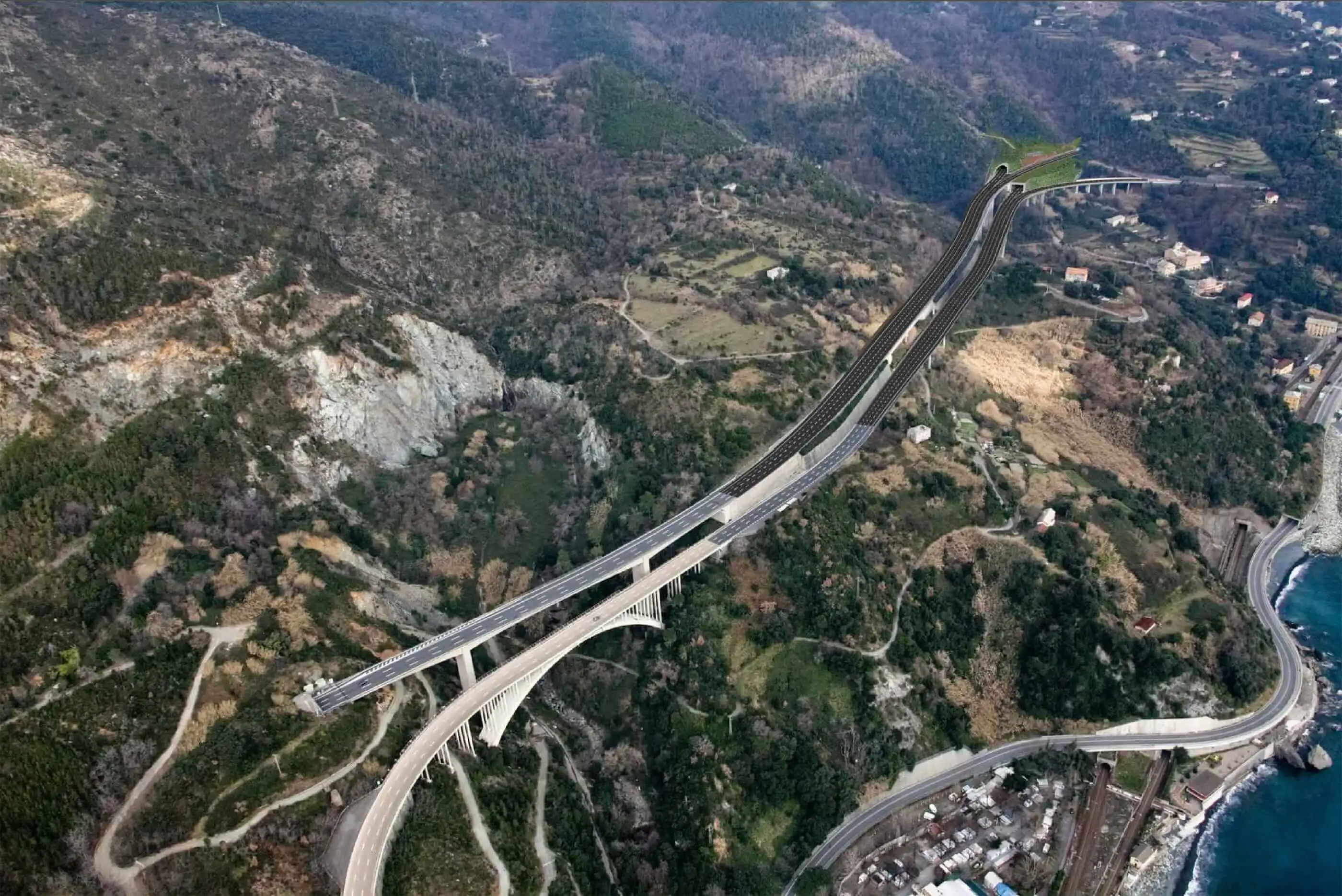
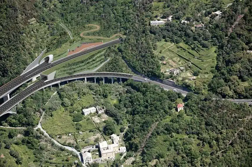
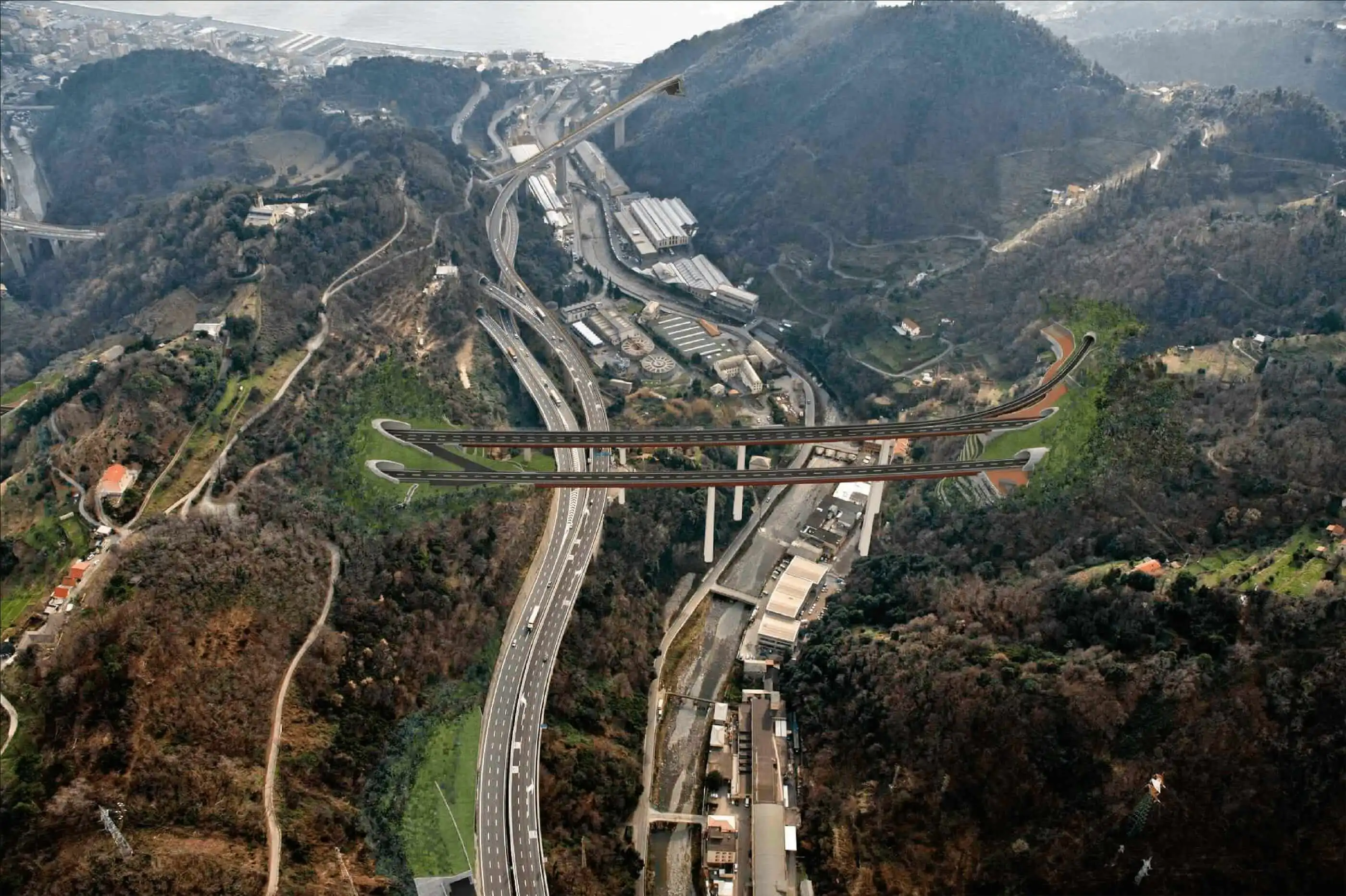
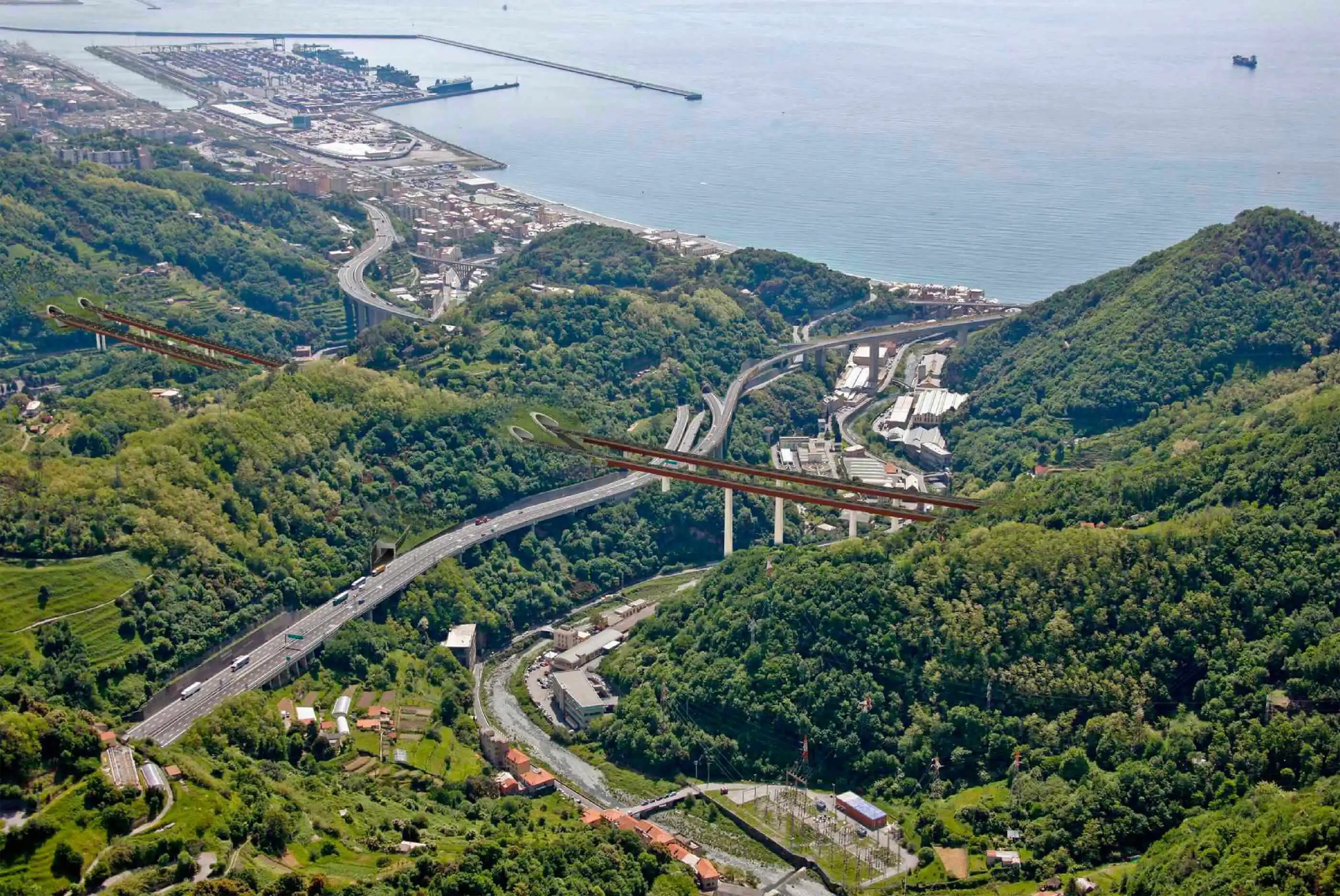
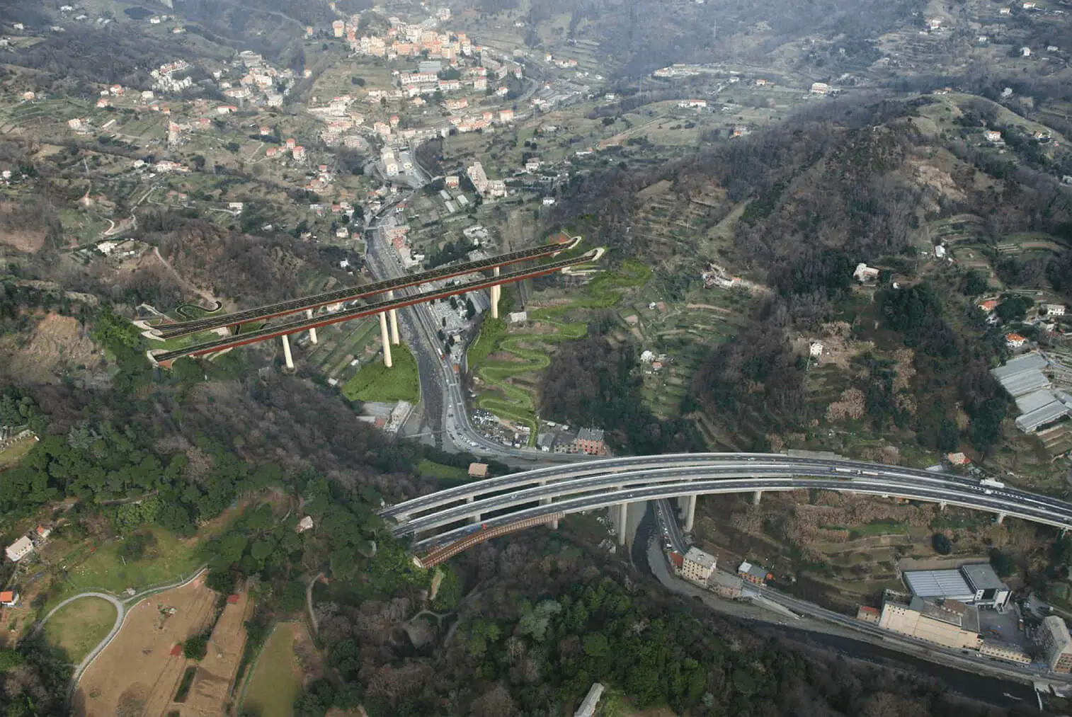
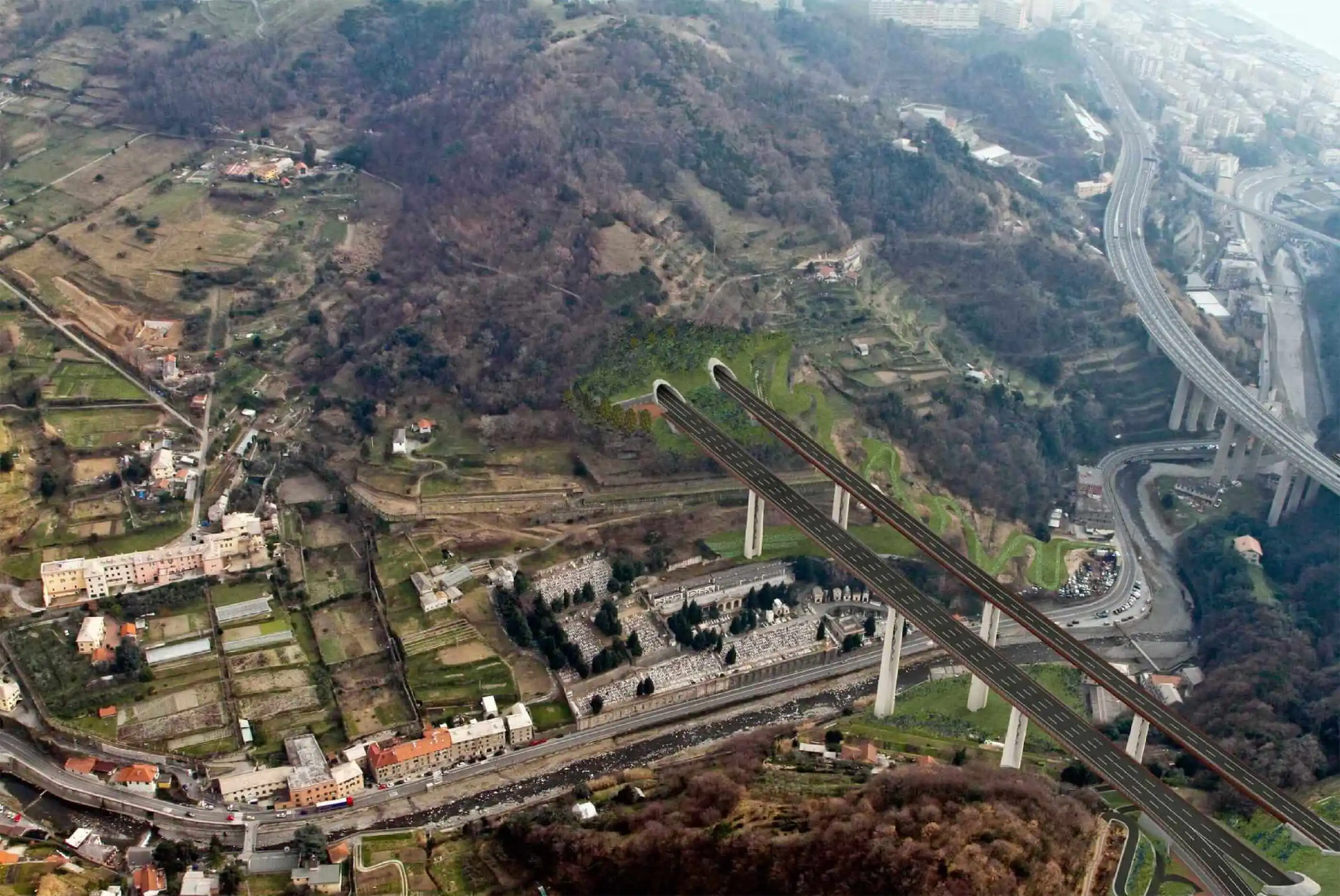
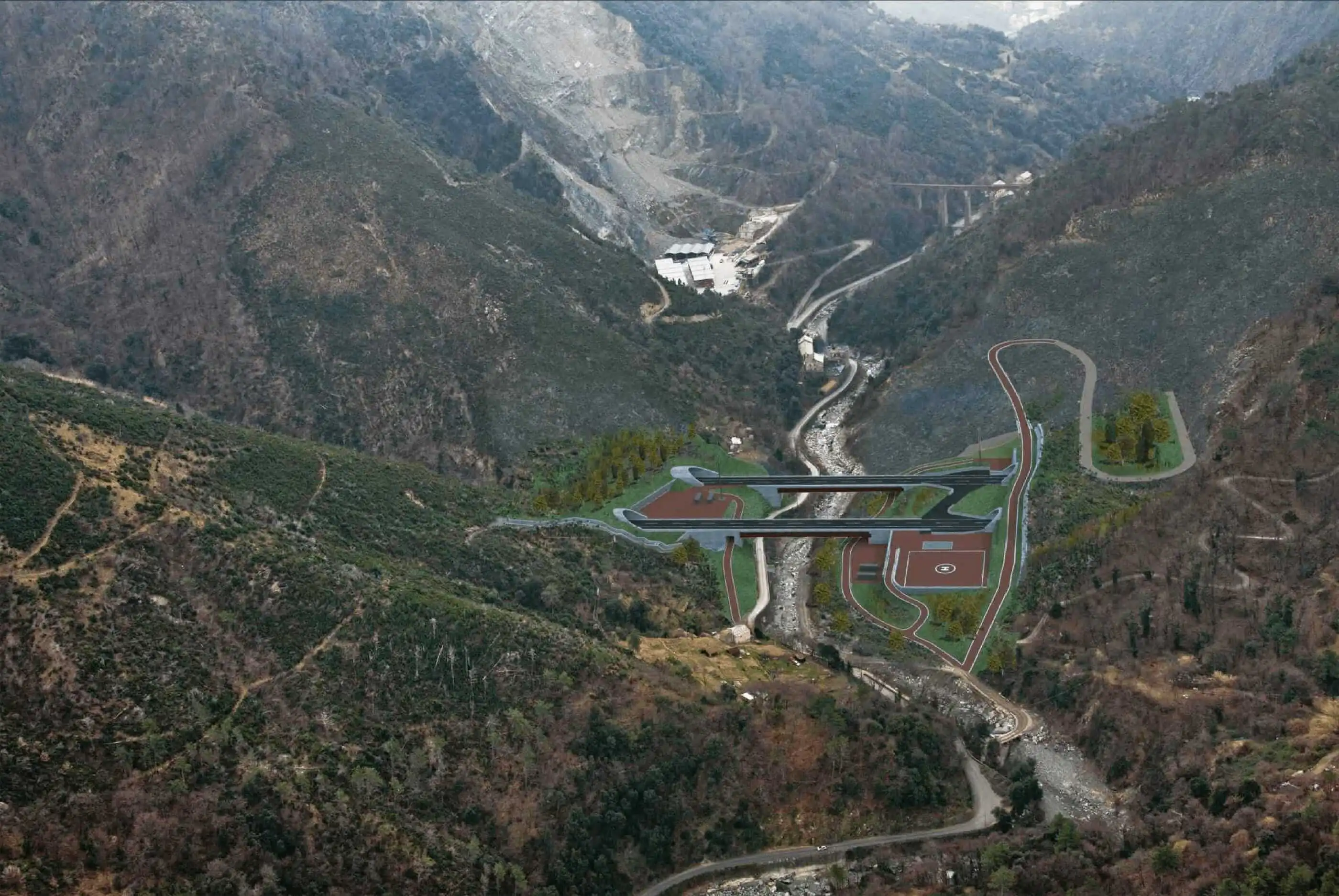
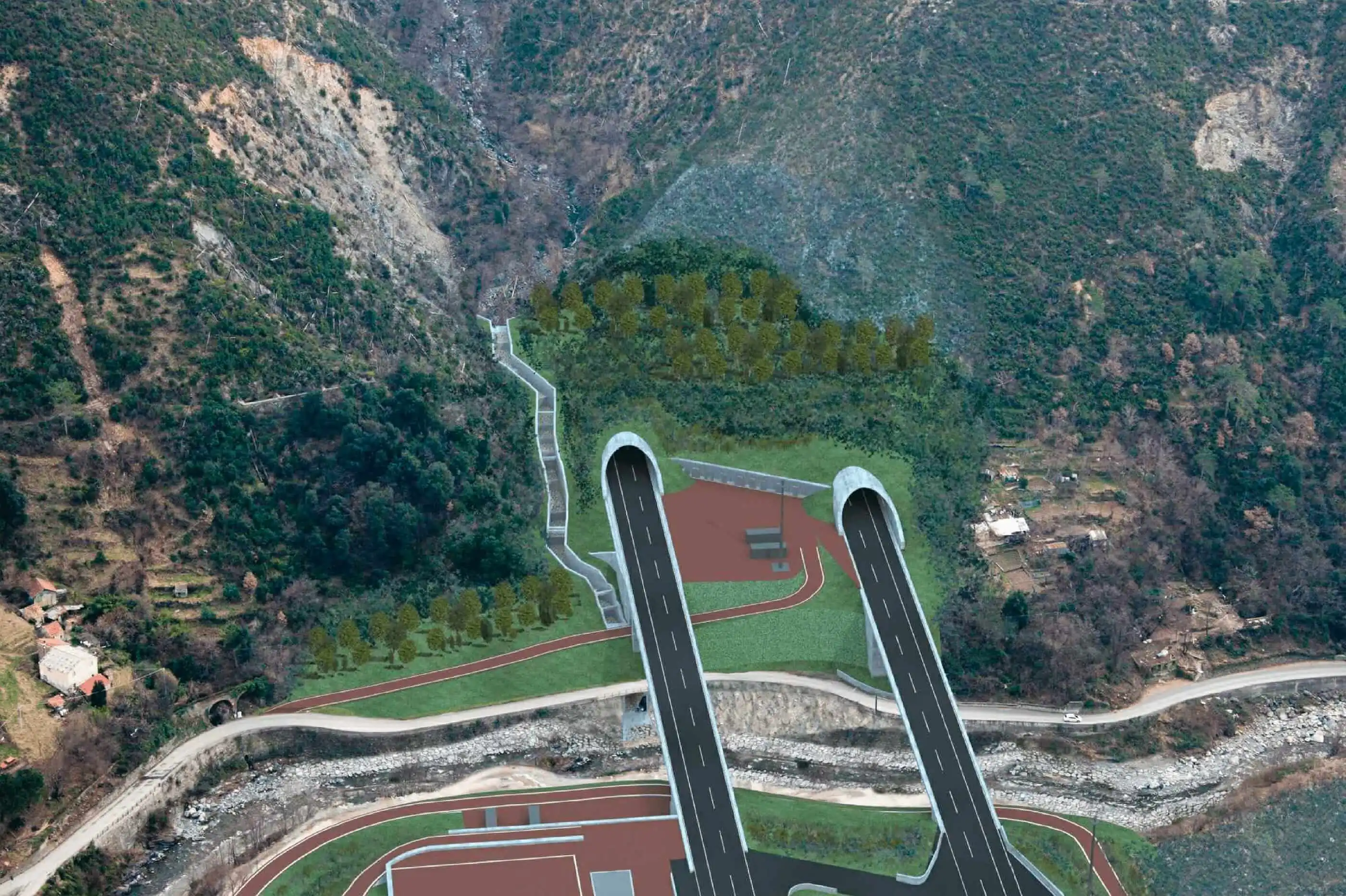
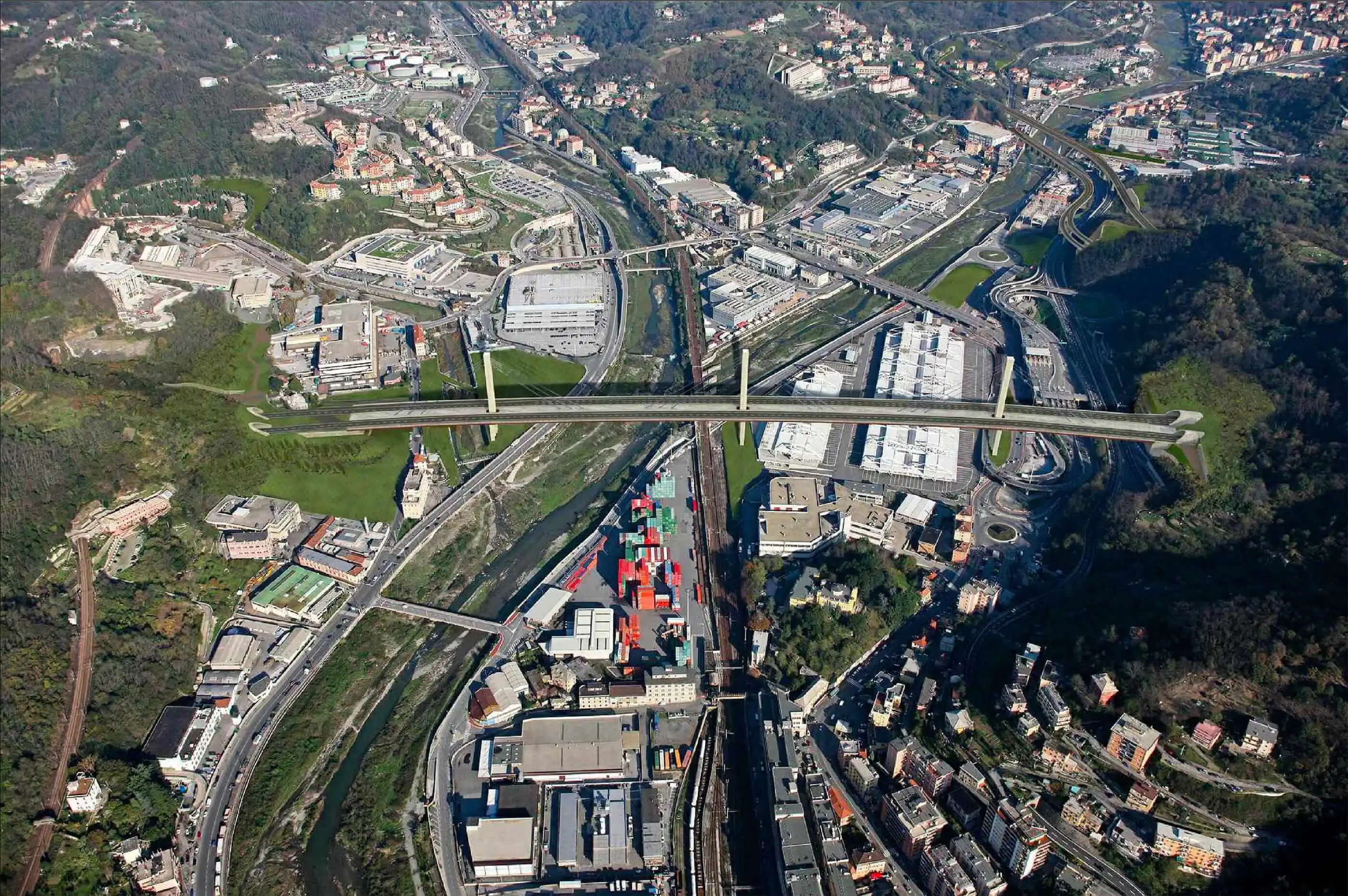
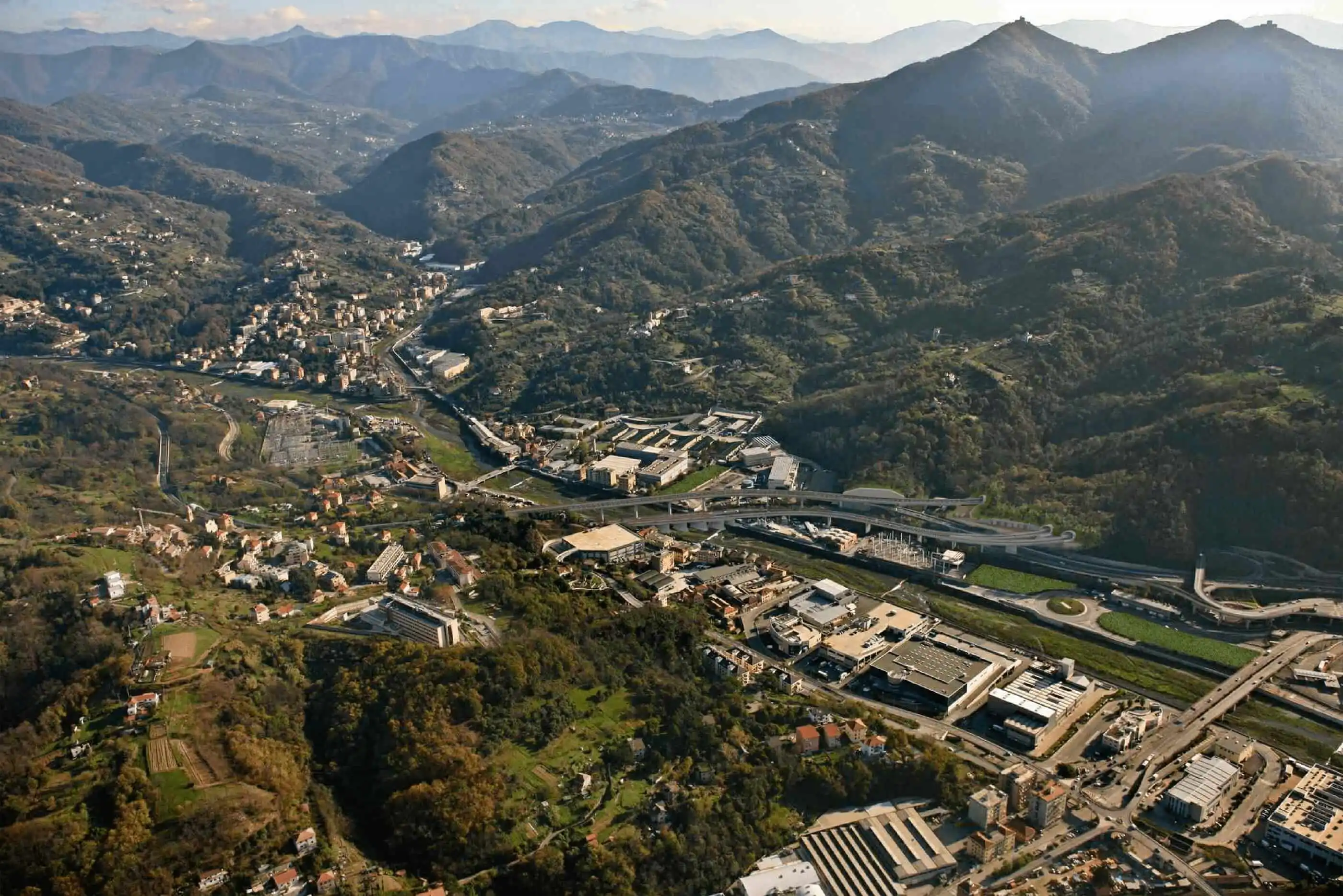
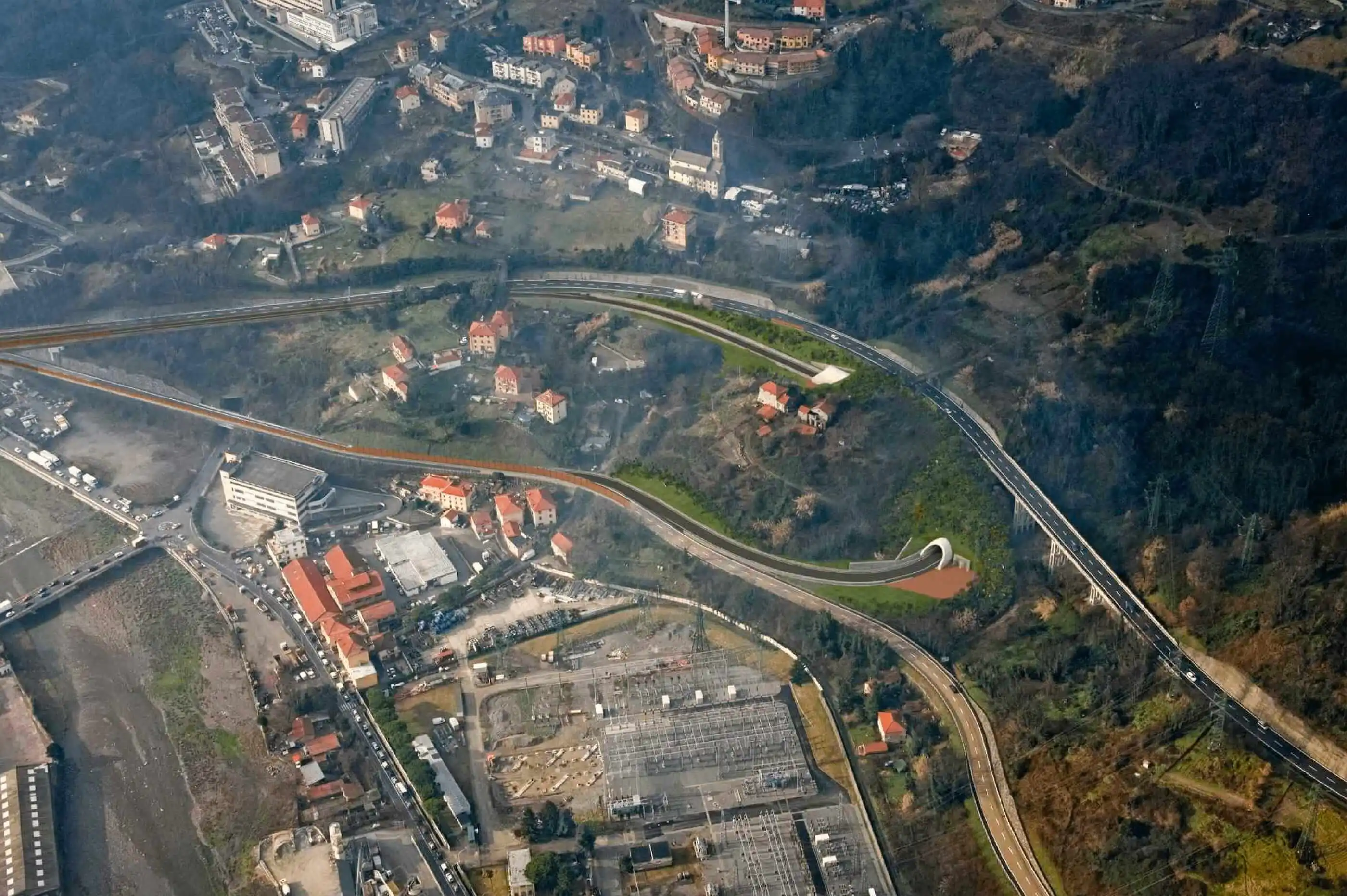
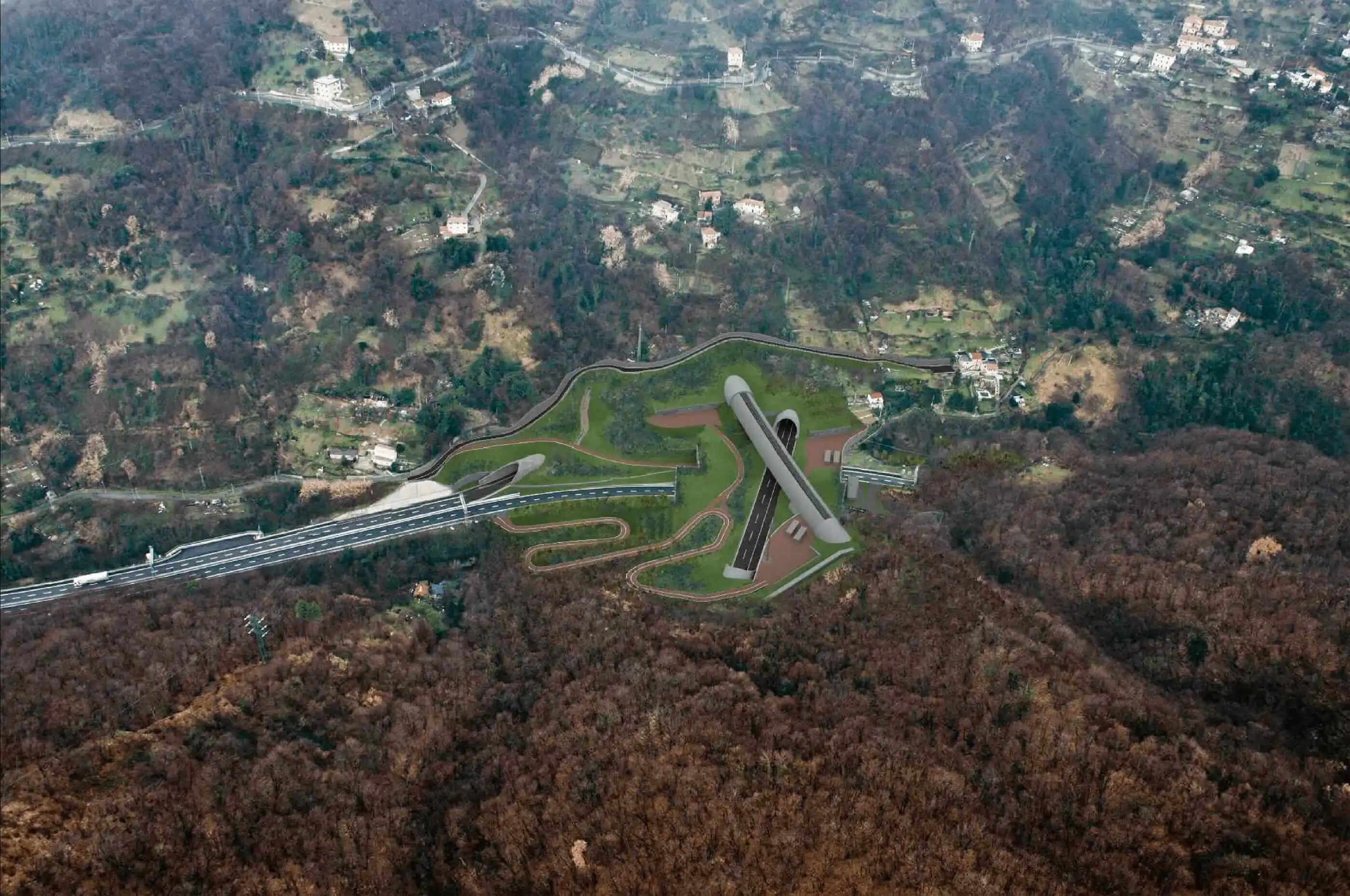
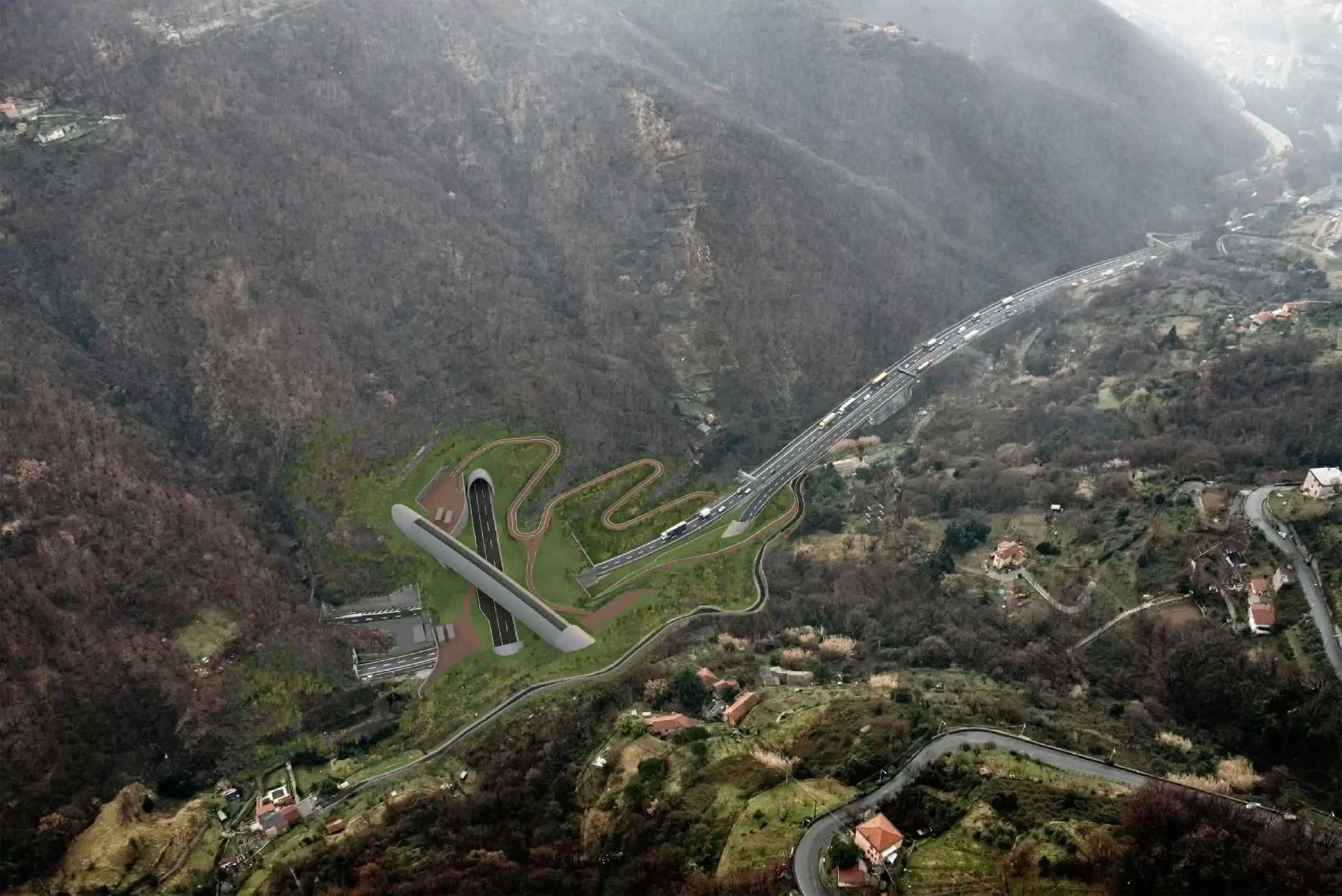
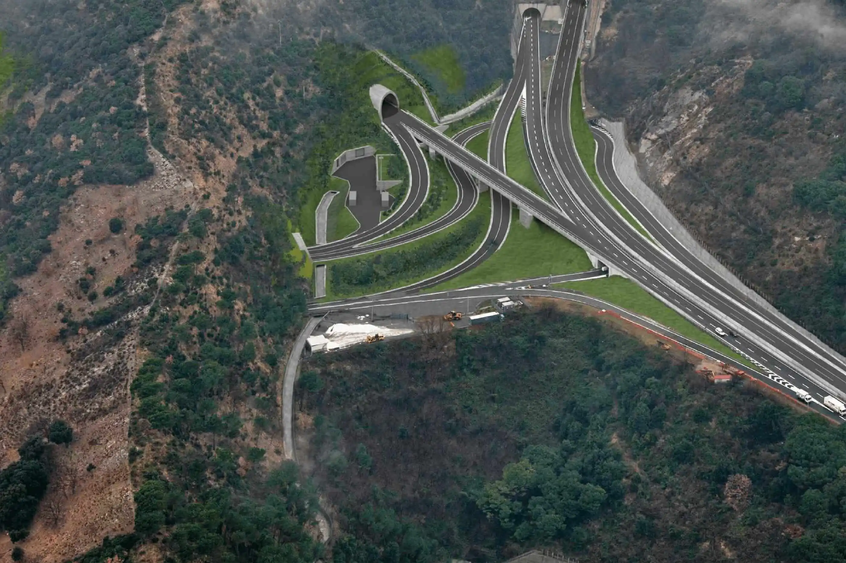
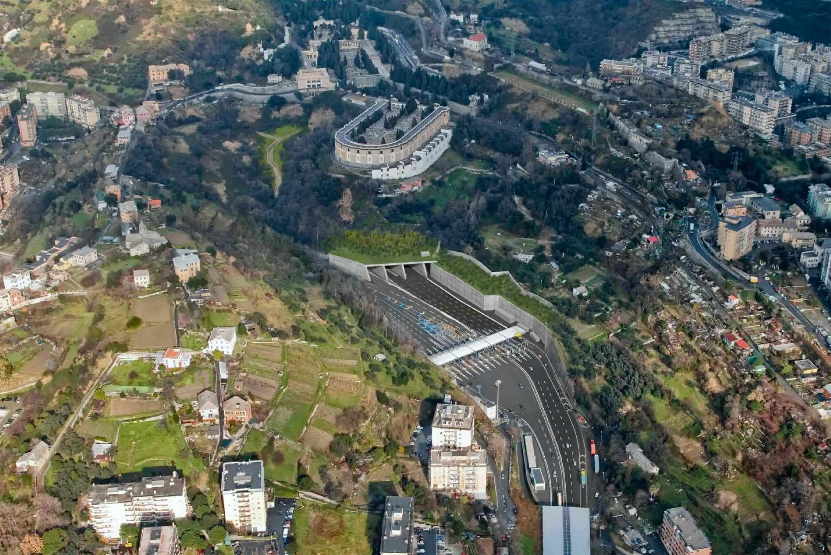
The Gronda di Genova is a new motorway section with two lanes in each direction, which doubles the existing A10 motorway in the section crossing the municipality of Genoa (from Val Polcevera to the built-up area of Vesima). The new infrastructure includes 65 km of new motorway routes and connects to the junctions delimiting the city area (Genova Est, Genova Ovest, Bolzaneto), connects to the A26 at Voltri and rejoins the A10 at Vesima. Given the orographically complex nature of the area crossed, the new road system is almost entirely underground and includes 23 tunnels, for a total of 50 kilometres, about 81% of the entire route.


